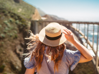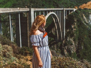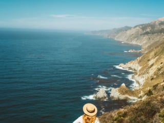
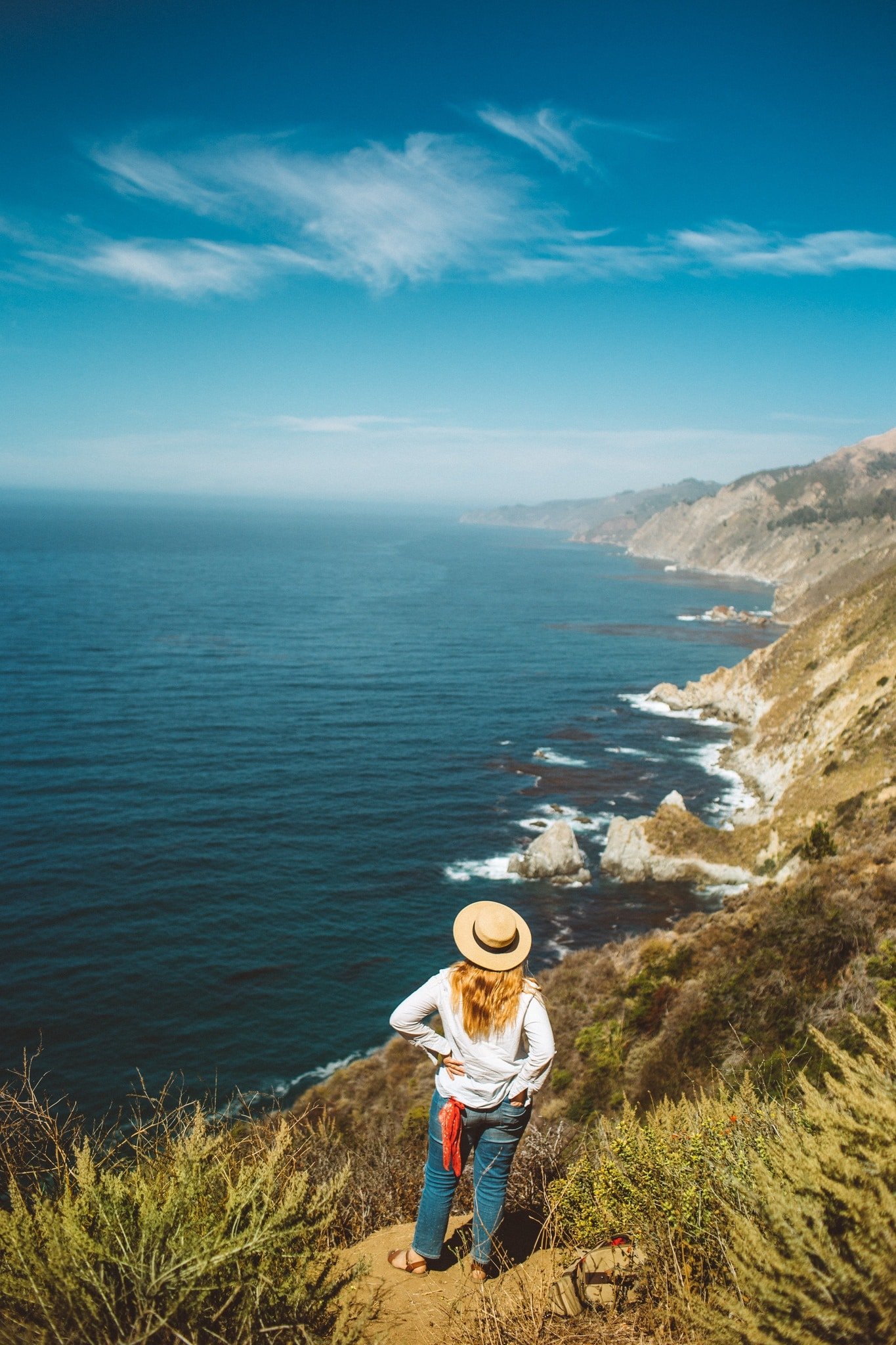
Big Sur is one of those places that feels straight out of a film set… well, it literally also is (who else loved Big Little Lies?) Every time I take this stretch of the Pacific Coast Highway, I find myself pulling over again and again, camera in hand, just to take it all in.
If you’re planning a Big Sur road trip, this guide covers all the best state park stops, scenic viewpoints, beaches, and places to eat and stay. I’ve been lucky enough to explore Big Sur, California a few times now, and it never stops surprising me.
Where Is Big Sur?
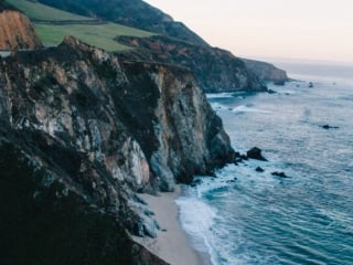
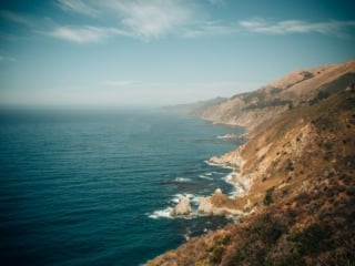
Big Sur stretches about 90 miles along California’s Highway 1, from Carmel-by-the-Sea down to San Simeon. On one side, you’ve got the Santa Lucia Mountains for award-winning wine, and on the other, the endless Pacific Ocean. It’s one of the most breathtaking drives in the world that I can’t get enough of, especially on clear winter days.
This portion of Hwy 1 is stunning but also has limited facilities, so make sure your gas tank is full and you have some snacks packed just in case. The cell service here is also limited, so download your maps offline first.
Best Stops Along The Big Sur Drive
I live in San Francisco and drive down to Big Sur at least once a year. Here’s a mix of my favorite Big Sur state park stops, photo-worthy bridges, and secret trails. I’ve listed them from north to south so you can plan your Highway 1 drive easily.
1. Point Lobos State Natural Reserve
You’ll find Point Lobos State Natural Reserve just north of Big Sur, often called the “crown jewel” of California state parks. It’s one of my favorite things to do in Big Sur. Don’t miss the Bird Island Trail, which takes you along turquoise coves and rugged cliffs. I once spotted a whale from the shore here, it was pure magic.
Pro tip: Parking fills fast, so arrive early or park along the road near Point Lobos State Park and walk in.
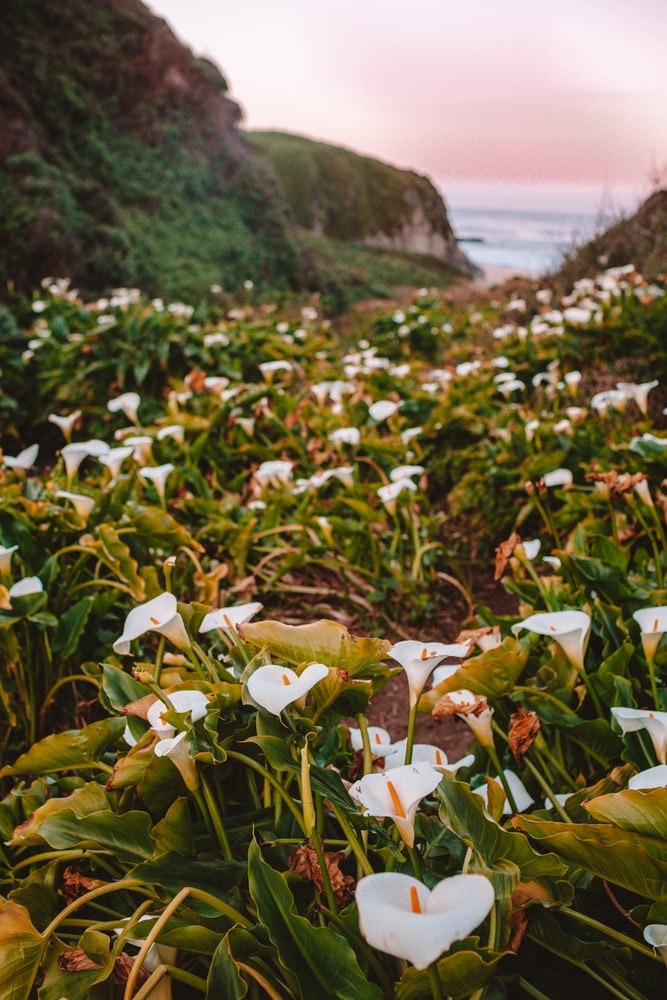
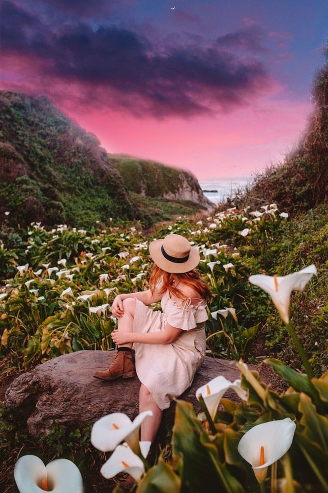
2. Garrapata State Park
Next up is Garrapata State Park, a more low-key stop with some of my favorite coastal trail views.
In spring, the Calla Lily Valley bursts with flowers, and I love to come here at sunrise to enjoy the lilies in person. The Soberanes Point Trail rewards you with sweeping ocean vistas. You’ll pass fields of wildflowers and dramatic cliffs, it’s Big Sur at its most photogenic.
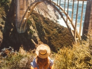
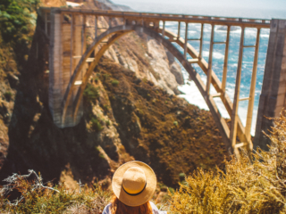
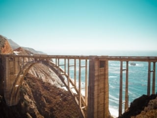
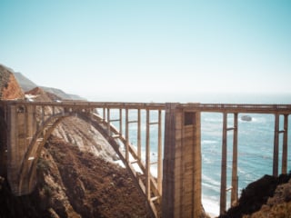
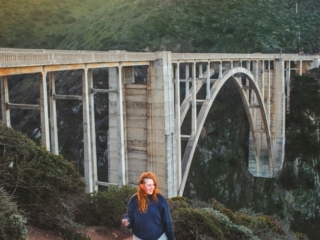
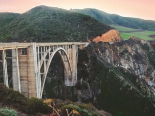
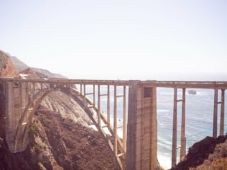
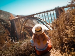
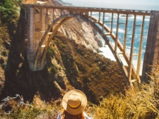
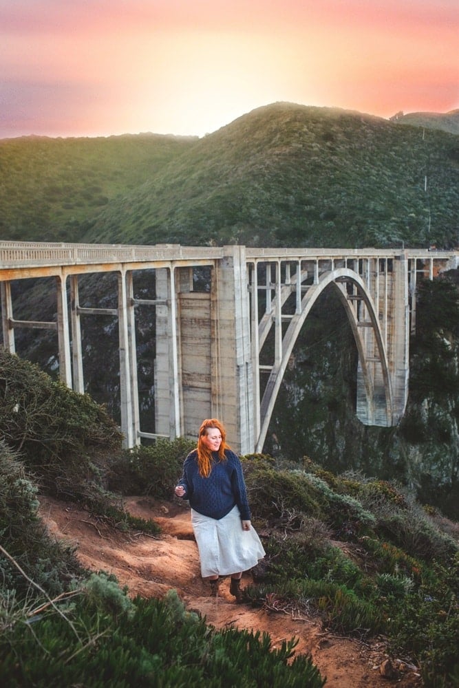
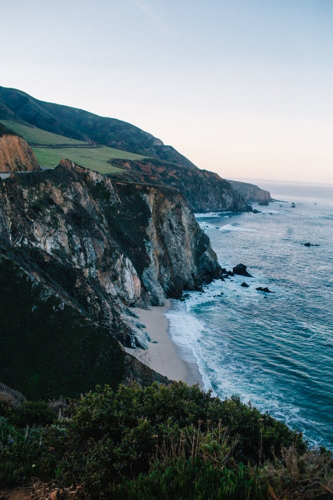
3. Bixby Creek Bridge
You can’t do Big Sur without stopping at Bixby Bridge (technically the Bixby Creek Bridge). It’s one of California’s most famous landmarks! That graceful arch curving over the canyon with the Pacific Ocean in the background shows up in countless TV shows and movies for good reason.
For the best photos, pull off on the dirt turnout before crossing the bridge if you’re driving south on Highway 1.

4. Hurricane Point
Just past Bixby is Hurricane Point, one of the highest overlooks on the coast. From here you can see miles of rugged shoreline and even the Point Sur Lighthouse off in the distance. It’s the perfect place to take a breather and let the views sink in.
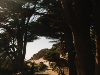
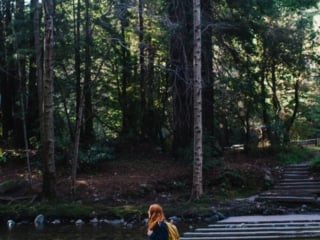
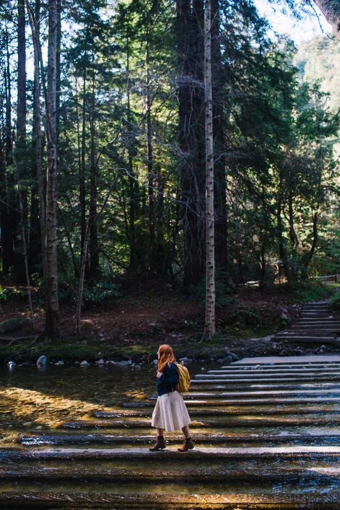
5. Andrew Molera State Park
Many visitors skip Andrew Molera State Park, but it’s one of my favorite places to hike. The Molera State Park trails meander through meadows, redwoods, and beach dunes. If you have time, walk the Beach Trail to the Big Sur River mouth for gorgeous coastal views where the river meets the sea.
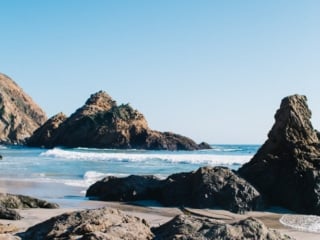
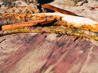
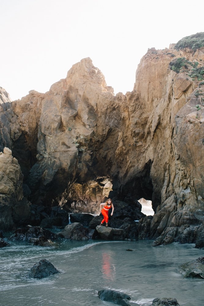
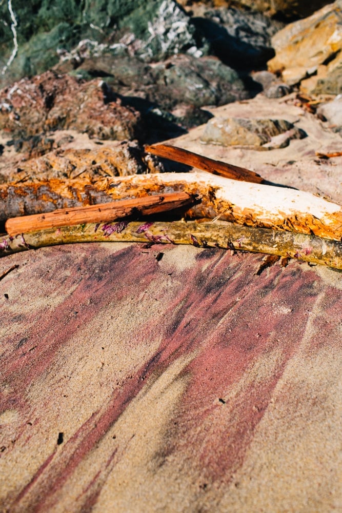
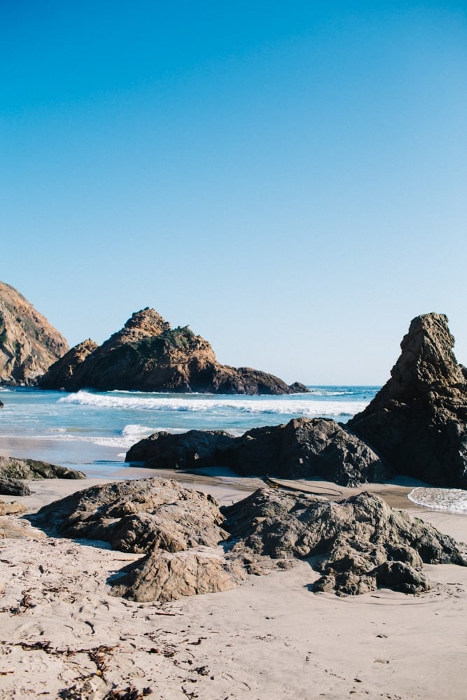
6. Pfeiffer Beach & Keyhole Rock
Pfeiffer Beach is pure Big Sur magic famous for its purple sand and the dramatic Keyhole Rock, where waves crash through a natural arch as the sun sets behind it. Photographers from all over the world come to capture that golden light pouring through the rock.
The entrance is easy to miss (look for the “Narrow Road” sign off Highway 1 near mile marker 32), but it’s worth the hunt. Arrive early since parking is limited, and note that this area is part of Pfeiffer Burns State Park, not Julia Pfeiffer Burns State Park further south.
Last time we visited was on a sunny evening at golden hour and I got to show Robin just how pink/purple the sand is in real life!
7. Nepenthe Restaurant
I always stop at Nepenthe, a cliffside restaurant perched high above the ocean. Even if you don’t eat here, grab a drink and wander the terrace for one of the best Pacific Coast Highway views. If you time it right, the sunset over the Pacific Ocean is unreal.
8. Henry Miller Memorial Library
Right next door is the Henry Miller Memorial Library, a quirky stop full of books, art, and live music. It’s one of those Big Sur places that feels timeless creative, bohemian, and a little weird in the best way.
9. Point Sur Lighthouse (and Former Naval Facility)
The Point Sur Lighthouse sits atop a volcanic rock just off the Pacific Coast Highway in Point Sur State Historic Park, a registered California landmark and part of the California State Park system. The lighthouse still operates today with a modern aero-beacon guiding ships along the rugged Central Coast.
You can tour both the lighthouse and the former Point Sur Naval Facility, which dates back to the Cold War. It’s the only remaining complete SOSUS (Sound Surveillance System) facility on the West Coast, a relic of secret submarine-tracking technology. Docents share fascinating stories about how it worked and what life was like here.
The lighthouse turns 128 years old this year in 2025, and tours run year-round for both the lighthouse and the former naval base. Restoration is ongoing, and limited access is available.
It’s easily one of the most fascinating historic stops along your Big Sur road trip… part history, part mystery, and 100% worth visiting.

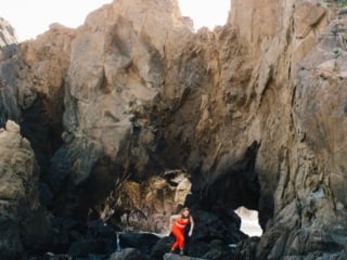
10. Partington Cove
One of my hidden-gem favorites. This trail leads you through a tunnel carved into the cliffside down to a rocky cove. It’s short but steep, and the color of the water will make you want to stay all day.
Partington Cove sits near Julia Pfeiffer Burns State Park and is a great stop before seeing the falls.
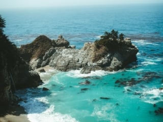
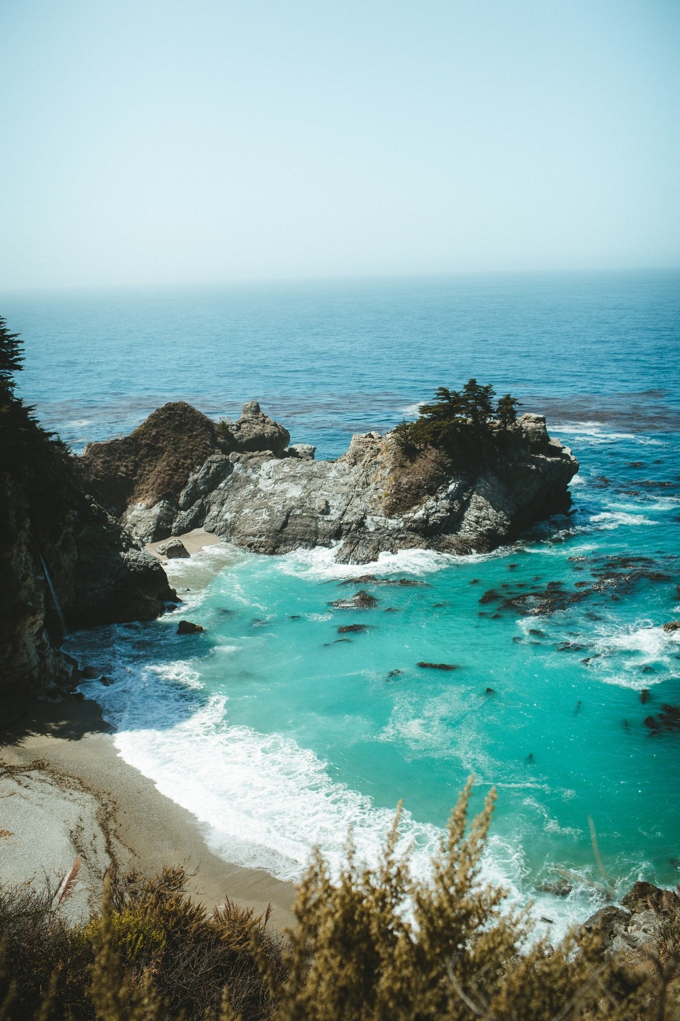
11. McWay Falls (Julia Pfeiffer Burns State Park)
McWay Falls is the showstopper of Big Sur. Located inside Julia Pfeiffer Burns State Park, this 80-foot waterfall drops directly onto a secluded beach, framed by cliffs and turquoise waves. You can’t go down to the sand, but the trail overlook is one of the most photographed places in California. It’s a very easy walk down to the lookout point, I think it took us less than 15 minutes.
It’s also near Julia Pfeiffer Burns State Park, which has hiking and picnic areas if you want to linger longer.
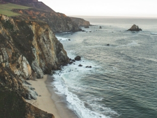
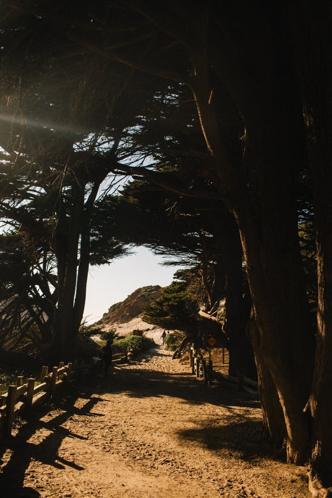
12. Sand Dollar Beach
South of McWay Falls, stop at Sand Dollar Beach inside Los Padres National Forest. It’s the largest beach in Big Sur, perfect for a picnic or surf break. The trail down is steep but worth it for the sweeping ocean views and sea cliffs.
My Top Big Sur Travel Tips
Drive North To South
Driving south keeps you on the ocean side of the road, making it easier to pull over at viewpoints along the Pacific Coast Highway.
Start Early
Many state park parking lots fill by mid-morning. Plan to leave Carmel around 8 or 9 AM (if not earlier) for the best experience.
Bring Layers
Between the mountain shade and coastal wind, temperatures change fast. Pack a jacket, sunscreen, and a hat. I love this puffer jacket vest that’s under $30 and has pockets, great for layering.
Carry Cash
Most California state parks charge a $10–15 entrance fee. Some only accept cash, especially around Garrapata State and Burns State Park areas.
Fuel Up In Carmel
Gas prices skyrocket along the coast, and there are very few stations between Carmel and Ragged Point. Make sure you have a full tank before you set on your Hwy 1 road trip.
Bring Snacks & Water
While there are great restaurants like Nepenthe and Big Sur Roadhouse, cell service can be unreliable, so come prepared. We always bring full water bottles and snacks like beef jerky.

Where To Eat In Big Sur
- Big Sur Roadhouse: Casual spot serving local ingredients with redwood forest vibes. I love their seasonal menus.
- Nepenthe: Classic Pacific Coast Highway stop with jaw-dropping views.
- Big Sur River Inn: Chill place by the Sur River where you can literally sit in the water with a drink in hand.
Where To Stay In Big Sur
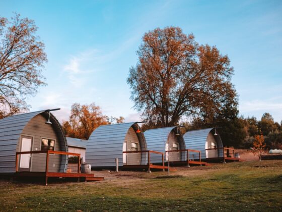
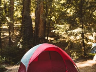
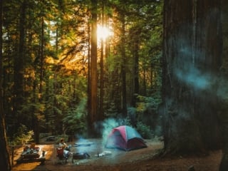
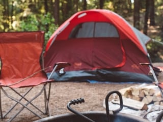
- Ventana Big Sur: Luxury hotel spa experiences under the redwoods inside Sur State Park territory. They also have a campground and glamping. We went camping here and it’s fantastic.
- Post Ranch Inn: Iconic Post Ranch property with infinity pools that overlook the Pacific Ocean.
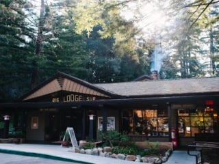
- Big Sur Lodge: Cozy cabins inside Pfeiffer Big Sur State Park, a perfect balance between comfort and nature.
Big Sur FAQ
When is the best time to visit Big Sur?
I love visiting Big Sur in spring for wildflowers and the Calla Lily Valley bloom, but clear winter days are unbeatable for the classic Big Sur viewpoints and ocean views.
Summer brings more fog, so aim for late afternoons if you want that golden hour light.
Do I need a reservation to visit Point Lobos State Natural Reserve?
Point Lobos now uses a timed reservation system on busy weekends and holidays. I always recommend booking online ahead of time through the official California State Parks website or arriving early for walk-in parking.
Can you access the beach at McWay Falls?
No, beach access at McWay Falls is permanently closed to protect the area’s natural beauty. The short overlook trail in Julia Pfeiffer Burns State Park gives you the iconic view from above, it only takes about 10–15 minutes round trip.
Is Pfeiffer Beach part of Julia Pfeiffer Burns State Park?
Nope! Pfeiffer Beach is part of Pfeiffer Burns State Park, not Julia Pfeiffer Burns State Park. They’re about ten miles apart, so don’t mix them up when planning your Big Sur drive.
How long does it take to drive through Big Sur?
If you stop at all the main viewpoints from Point Lobos down to Sand Dollar Beach, plan for at least five to six hours. I usually make it a full-day trip or even an overnight stay so I’m not rushing through the coast.
What’s the parking situation like in Big Sur?
Parking lots at popular stops like McWay Falls and Pfeiffer Beach fill up fast. Arrive early (by 9 AM) or visit on weekdays for fewer crowds. Always carry cash, since some smaller state parks only accept it for entrance fees.
Are there bathrooms or food stops along the Pacific Coast Highway in Big Sur?
Facilities are limited between Carmel and Ragged Point. I always fill up on gas, bring snacks and water, and plan sit-down meals at spots like Nepenthe or Big Sur Roadhouse.
Can I bring dogs to Big Sur beaches or trails?
Some state parks allow leashed dogs on paved areas or specific trails, but most do not permit them on beaches or unpaved paths. Always check the park website before bringing your pup.
Just Plan The Big Sur Trip Already
Big Sur is more than a place, it’s a feeling. Whenever I drive down this road, I feel all my problems melt away. Standing at the edge of a cliff, watching fog roll over the Santa Lucia Mountains while waves crash below, feels like being part of something bigger.
Whether you’re hiking through Andrew Molera State Park, chasing waterfalls at Julia Pfeiffer Burns, relaxing at Post Ranch Inn, or watching the sun dip into the Pacific Ocean, every drive along this coast is unforgettable.
If you’re planning your first Big Sur road trip, save this guide and please drop your favorite trail, beach, or state park stop in the comments. I’m always hunting for new corners of Big Sur, California to explore next time.