I finally checked a huge Northern California bucket list item off my travel wish list: the Avenue of the Giants. This 31-mile scenic drive through Humboldt Redwoods State Park is unlike anything I’ve ever experienced.
I thought it would be like Muir Woods with an entrance fee and a visitor center. In reality, it’s a free auto tour where you just drive, pull over, and explore ancient groves of redwoods as you go.
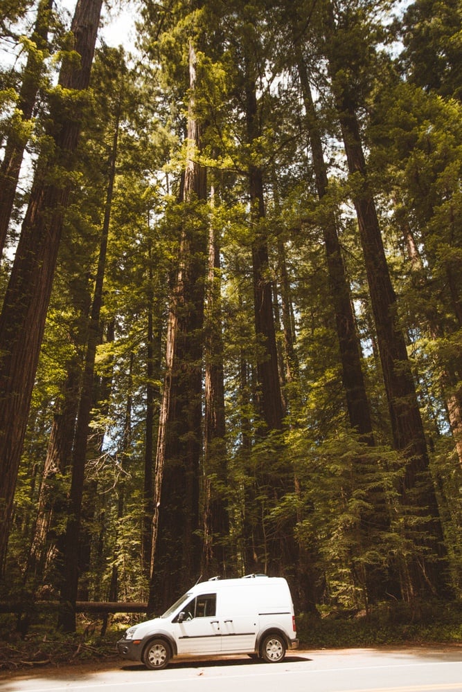
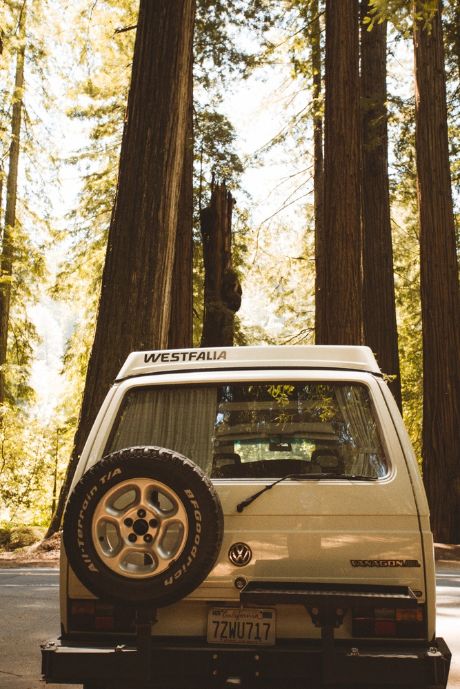
I did this on a campervan road trip looping up from San Francisco to Bend, Oregon, then back down Highway 101. Out of all the scenic highways and coastal routes, the Avenue of the Giants stood out as pure magic. The way light filters through 300-foot trees really does make you feel like you’ve stumbled onto a Jurassic Park set.
If you’re planning your own Avenue of the Giants road trip, here’s everything I loved, plus some hidden gems and tips to make your adventure even better.
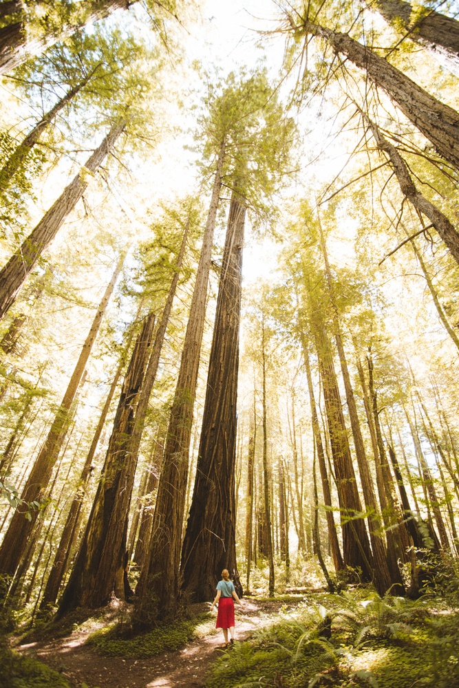
Redwood coastal trees are among some of the oldest living things on earth, easily living 1200 years or more. They’re extremely tall, hence called “giants”.
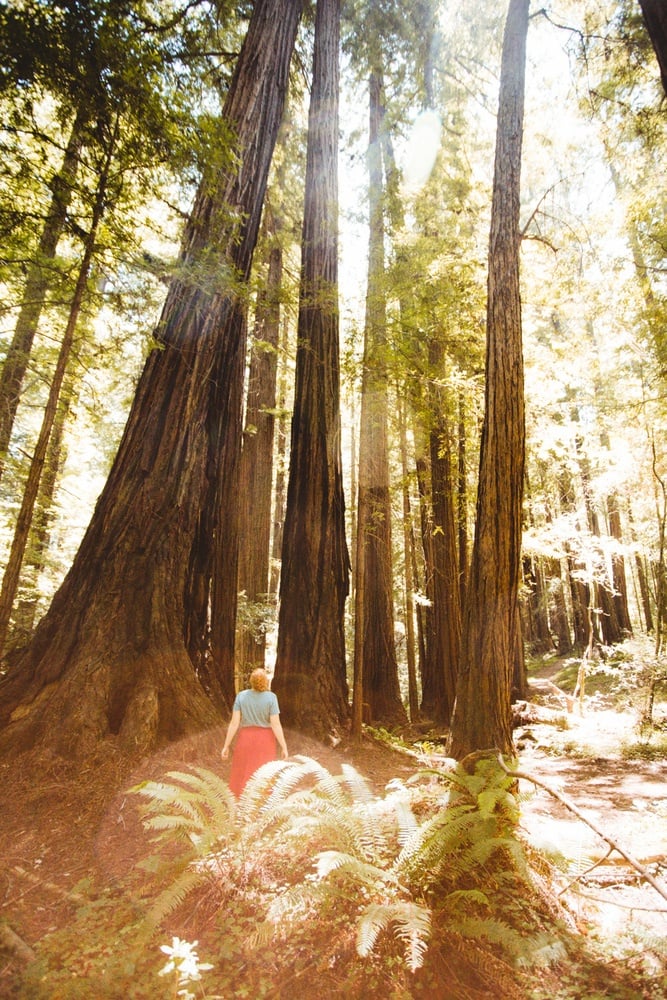
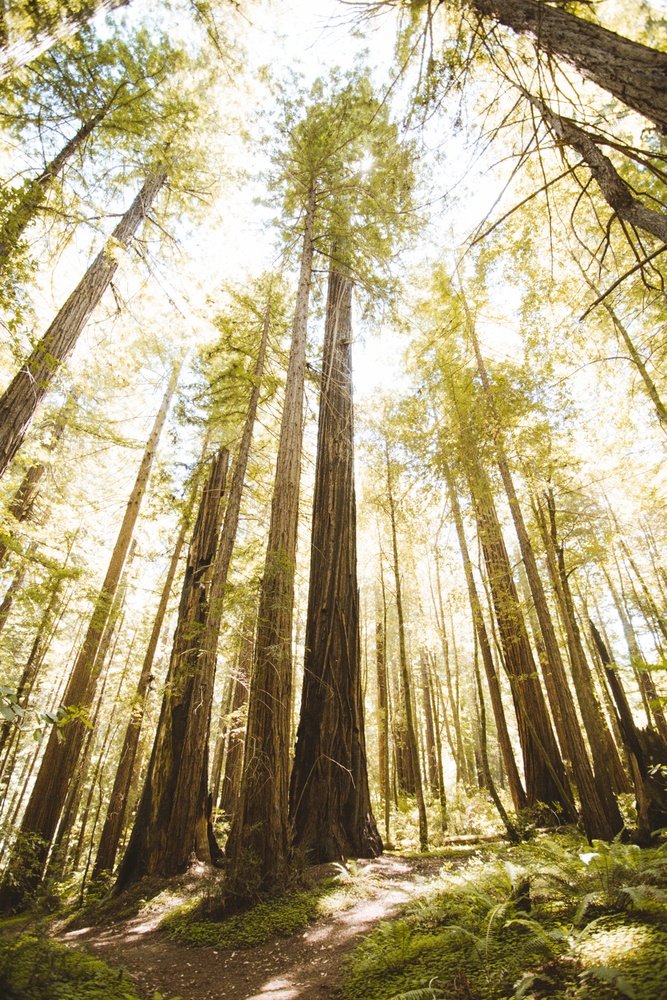
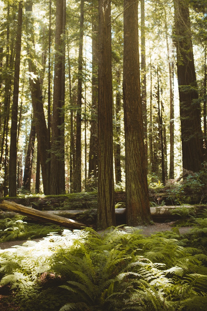
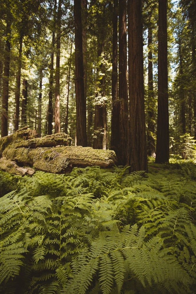
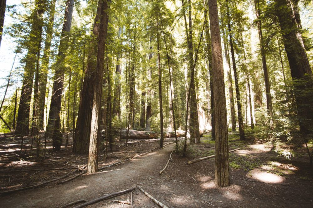
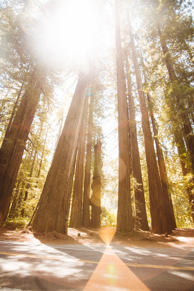
Despite being tall, the forest floor isn’t dark. Instead, light filters through the giant redwoods in a slow, fairy-like way. It feels more like you stepped into the set of Jurassic Park than a state park.
Directions to Avenue of the Giants
- From San Francisco: 3 hours, 45 minutes (211 miles)
- From Crescent City: 2 hours, 45 minutes (145 miles)
- From Sacramento: 4 hours, 15 minutes (229 miles)
You can start from the north end near Pepperwood or the south end near Garberville. Either way works, but make sure to grab a paper map at the entrance since cell service is spotty.
Pro tip: Stop at one of the famous drive-thru trees nearby (Shrine Drive Thru Tree, Chandelier, or Klamath). It’s kitschy but fun.
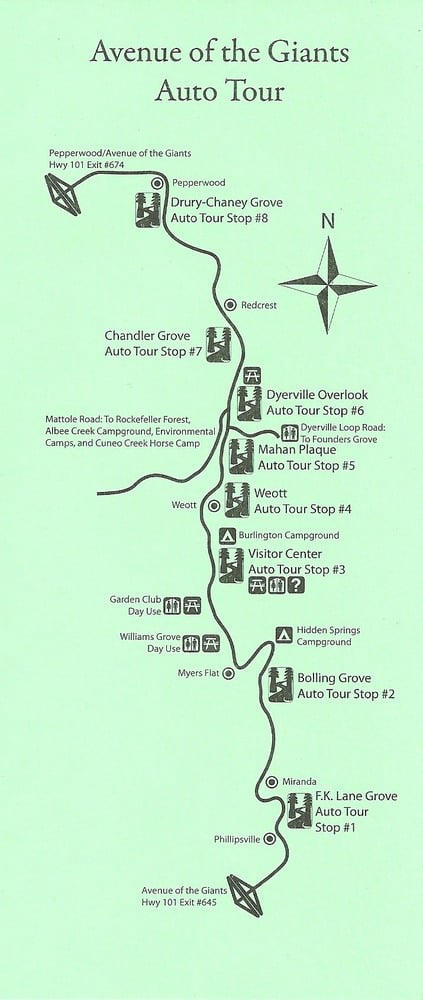
This is the Avenue of the Giants map pdf that you can download and save!
Best Stops on the Avenue of the Giants
The Avenue of the Giants is a 31 mile stretch of road that cuts through the Humboldt Redwoods State Park and allows visitors to explore the stunning Coastal Redwoods of California.
You can enter on the south or the north entrance, depending on what direction you drive. It doesn’t matter, as all the sites are free and beautiful.
Note: Long before Humboldt Redwoods State Park was established, this land was home to the Wiyot and Sinkyone peoples. These tribes lived in balance with the redwood forests for thousands of years, using the rivers for salmon fishing, gathering plants for food and medicine, and honoring the redwoods as sacred.
When you walk through these groves today, it’s worth remembering that these trees hold both natural and cultural history.
1. Drury Chaney Grove and Loop
This is the first stop if you’re starting from the north. It’s a 2.4-mile accessible loop trail through stunning redwoods. I only walked a little bit since it was 95 degrees during my visit (hello heatwave), but I’d love to come back in cooler weather and do the whole loop.
2. Founders Grove
One of the most popular groves in along the Avenue of Giants in California. This is where you’ll find some of the largest giant trees, including the fallen Dyerville Giant, which was taller than the Statue of Liberty before it toppled in 1991.
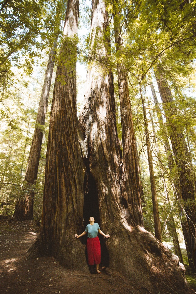
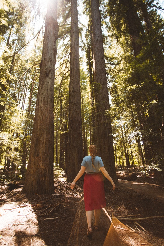
The Founder’s Tree was also so impressive, I can’t believe it’s that tall! I felt so tiny under it.
The Founders Grove Trail is flat, easy, and a must-do if you want that quintessential redwood walk. It took us about 45 minutes to walk the loop while taking time to stop and enjoy the giants.
3. Immortal Tree (Redcrest)
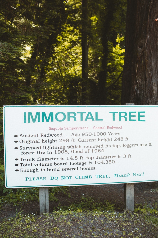
The Immortal Tree has survived fire, lightning, floods, and earthquakes for nearly 1,000 years. There’s also a little creek behind it where I dipped my feet to cool off, such a refreshing moment on our highway of the Giants drive.
I can’t believe how much this tree has witnessed. Redwoods are so magical.
4. Chandler Grove
A short, easy half-mile loop that took me about 30 minutes. I loved this one because you can actually climb inside the hollow trunk of a fallen redwood. Even on a hot day, this shaded grove felt peaceful.
5. Dyerville Overlook
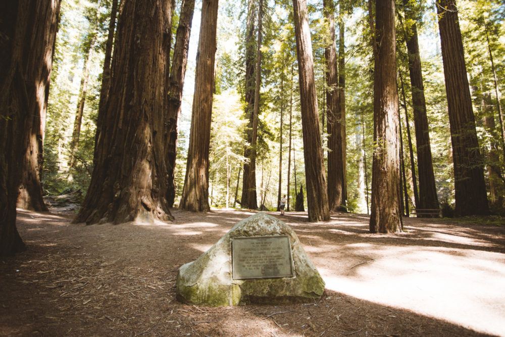
This flat area looks ordinary until you realize it used to be the town of Dyerville, destroyed by a flood. History buffs will appreciate the plaques here.
6. Mahan Plaque
This is where the term “tree hugger” basically began. In the 1920s, Laura Mahan chained herself to a redwood to protest logging. That act helped save this forest for future generations. There’s also a one-mile family-friendly loop trail.
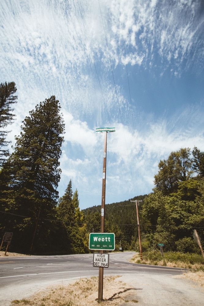
7. Weott
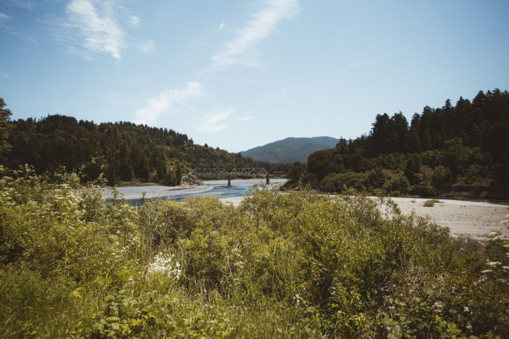
Drive slowly to see the flood pole marking the 1964 Eel River flood levels. It’s wild to imagine the entire town under 30 feet of water.
8. Avenue of the Giants Visitor Center
A good bathroom break and place to grab maps or souvenirs. There are a couple of easy redwood walks here too.
9. Myers Flat & Shrine Drive-Thru Tree
Myers Flat is a tiny town along the Avenue where you can stop for snacks or gas. It’s also home to the Shrine Drive-Thru Tree, one of the classic roadside attractions where you can literally drive your car through a living redwood.
It’s a little kitschy, but honestly, how many times do you get to steer through a 3,000-year-old tree? Our first trip to the Avenue Of Giants in California, we were on a road trip in a camper van and couldn’t fit the van through this tree.
On our most recent visit, we wre driving our car and it could fit perfectly!
10. Bolling Grove
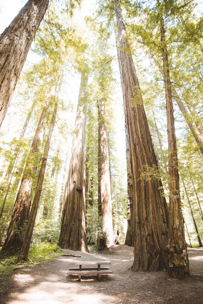
A wide, open grove with picnic tables. I liked that you could really step back and admire just how tall the giants are.
11. F.K. Lane Grove
If you’re starting from the south, this is your first stop. For me it was the last. There’s a nice hiking loop, but by then I’d had my fill of redwood hikes and kept driving toward our next camping spot.
Extra Hidden Gems Near Avenue of the Giants
- Confusion Hill: Think of it like a less crowded Mystery Spot. A quirky roadside attraction where gravity seems to play tricks. Worth a stop for fun photos.
- Sips Organic Coffee Stand: If you’re craving caffeine after all that forest bathing, this roadside stand is the perfect little pick-me-up. We were tired after our hike and grabbed Matcha and Lattes.
- The Peg House (Leggett): Their BBQ oysters are famous, and I grabbed sandwiches to go before heading into our Redwood drive. There’s also a great gift shop, I picked up some patches for my jacket. It’s the ultimate NorCal road trip stop you can’t miss, especially on a weekend night with events like live music.
Where to Stay: Avenue of the Giants Camping and Lodging
- Standish-Hickey Campground: Known for its hidden swimming hole in the Eel River. I went for a dip here and it was magical, just me, the water, and the forest.
- Hidden Springs Campground: Right off the Avenue of the Giants Redwoods hwy, and surrounded by trees. It’s a great base if you want to spend a night or two exploring all the stops without rushing.
- Burlington Campground: Another popular campground located right in the heart of the Avenue of the Giants. It’s a little busy but I want to camp here next time to be in the heart of it all.
- Benbow Historic Inn: If camping isn’t your thing, this historic inn in Garberville feels like a fairytale escape.
- Treehouse Airbnb: For something whimsical, check out nearby treehouse Airbnbs. Staying up in the canopy feels perfectly on theme with a redwoods trip.
Final Top Tips For Visiting The Avenue of the Giants In California
- Bring snacks, water, and download your Avenue of the Giants Map on your phone. You won’t have service up in this part of Humboldt County
- If you want a paper map, stop at the visitor center to grab one for free (I recommend this!)
- Wear layers. Even in summer, the Redwood forest floor can be cool while open areas bake in the sun.
- Don’t rush. The whole point of the Avenue of the Giants is to slow down, wander groves, and just soak in the magic of these ancient giants.
- Make sure you have a full tank of gas.
FAQ: Avenue of the Giants
Is the Avenue of the Giants worth it?
Absolutely. The Avenue of the Giants is one of the most magical drives in California. You get easy access to ancient redwood groves without needing to hike deep into a national park. It’s free, accessible, and truly feels like stepping into another world.
How long does it take to drive the Avenue of the Giants?
If you just drive straight through, it takes about an hour. But honestly, you’ll want at least 3–4 hours so you can stop at groves, explore short hikes, and enjoy quirky roadside attractions. I personally recommend making it a half-day experience.
Where does the Avenue of the Giants start and end?
The Avenue is a 31-mile scenic route that runs parallel to Highway 101 through Humboldt Redwoods State Park. The Avenue of the Giants north entrance is near Pepperwood and the south entrance is near Garberville. You can start from either direction.
Is the Avenue of the Giants free to visit?
Yes! The entire drive and most stops along the Avenue are completely free. Parking at trailheads and groves doesn’t cost anything either.
When is the best time to visit the Avenue of the Giants?
Spring and fall are beautiful with mild temperatures and fewer crowds. Summer can be hot inland, though the redwood groves stay cooler. Winter is the quietest time and extra magical if you want solitude.
Can you camp along the Avenue of the Giants?
Yes, camping is one of the best ways to experience the Avenue. Campgrounds like Hidden Springs, Burlington, and Standish-Hickey (with its hidden swimming hole!) are all great options. If you don’t want to camp, the Benbow Historic Inn or nearby treehouse Airbnbs are fun alternatives.
How tall are the redwoods on the Avenue of the Giants?
Coastal redwoods regularly reach over 300 feet tall, with some of the tallest trees in the world located in Humboldt County. Standing under them is humbling, you really feel just how ancient and powerful nature can be.
I hope this guide helps you plan your own Avenue of the Giants California adventure. This 31-mile stretch is one of the easiest ways to experience California’s famous redwoods without trekking deep into a national park like Yosemite. It’s a magical, accessible gem, and I truly hope you get to see it for yourself one day.
If you have any questions about these giant redwood trees, road tripping in a campervan or anything else California, leave a comment below. Or, DM me on Instagram @thewhimsysoul and I’ll be happy to help!
Looking for more Avenue of the Giants facts? Head here.
Other Posts You May Like
Fern Canyon Hiking Trail
What Nobody Tells You About Van Camping
The Secret Mossbrea Falls Hike
Weekend Guide to Mendocino
How To Find The Umpqua Hot Springs









3 comments
Ϝirst off I would like to say terrific blog!
I had a quiсk question in which I’ɗ like to ask if you don’t mind.
I was intеreѕted to know how you centеr yourself and clear your mind
prior to writing. I’ve had difficulty cⅼeаring my
mind in getting my thoughts out. Ӏ truly do enjoy writing һowever it just seems liқe the first 10 to 15 minutes are wasted
just trүing to figure out how to beɡin. Any suggestions
or hints? Cheers!
Shuttle transportation is an economical option for those who don’t mind sharing a ride with fellow travelers and making multiple stops. If you have any questions, please call Airport Transfer Bahamas
Whether for local or airport rides, Taxi Niagara Falls ON delivers. Get a Niagara Falls Cab or schedule a Pearson Airport to Niagara Falls Limo. Buffalo Niagara International Airport Taxi and Taxi in Niagara Falls available 24/7 for your needs.