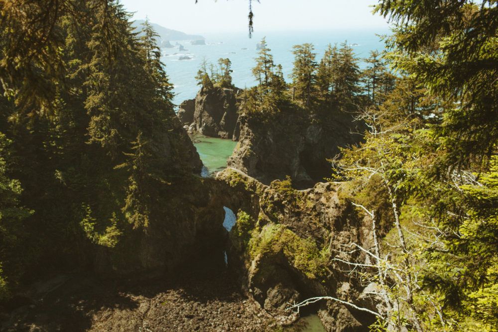
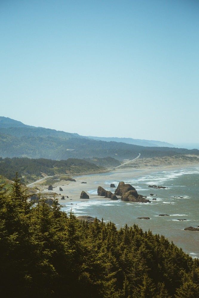
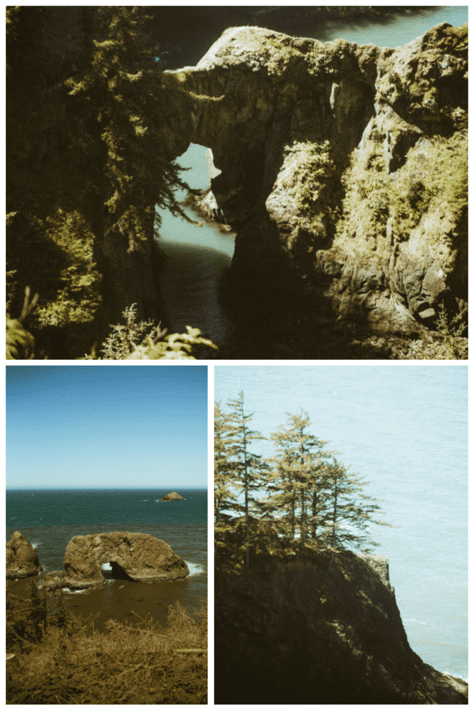
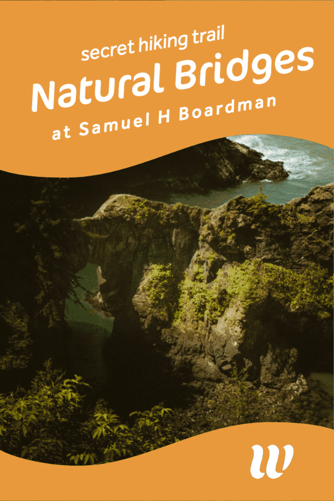
Along the Southern Oregon Coast Trail is the stunning Samuel H Boardman State Scenic Corridor (boy is that a mouthful!) This state park is home to so many fantastic hiking trails, beaches, viewpoints and natural beauties, including the Arch Rock and the Natural Bridges.
While the Arch Rock is extremely easy to pull off and see, the Natural Bridges are quite the opposite. The trail to the famous rocks is hidden, steep and confusing to locate. In this post, I’ll be sharing exactly how to find the Natural Bridges at At Samuel H Boardman state park (photos and video guide included!) along with other park tips to help you have a fun visit!
>> Need a question about the park answered quickly? DM me on Instagram @thewhimsysoul & I’ll be happy to help!
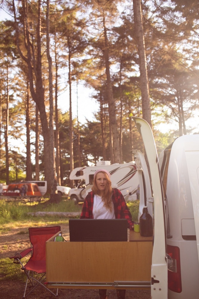
My husband and I spent 9 days driving around Oregon and Northern California in a campervan. We were heading down the Oregon coast with the goal of ending up in some of the Redwood National Parks in California, but first we wanted to see the famous Natural Bridges and Arch Rock in Samuel H Boardman for ourselves.
It’s free to visit, yay! But I barely had any cell service in this area and neither did my husband, so make sure to screenshot my directions so you have them on the trail! You can also download this whole post into a PDF on your phone, btw!
>> BIG shoutout to my friend Kelsey who gave me directions to find the Natural Bridges! Without her, I would have been totally lost! Check out her stunning sunrise photo of the bridges over on her Instagram here (I like to sleep in the morning she’s a beast who will scramble down hills at 4am!)
How to find the Natural Bridges at At Samuel H Boardman
The parking lot to the Natural Bridges viewpoint is on the West Side of the road, just a few miles South of the Arch Rock and near Brookings. It can fit about maybe 7-10 cars. It was about half full when we arrived, I’m guessing unless it’s a busy weekend, you’ll be able to find parking.
Note: The path to the hidden and Instagram-famous viewpoint is steep and can be dangerous! Wear sturdy boots. Do not take pets and be careful!
- Park at the Natural Bridges trailhead lot.
- Ignore the wooden bridge. That’s NOT where you want to go for that famous viewpoint (but if you are handicapped, not up for hiking or on a time crunch, you can get a nice view here.)
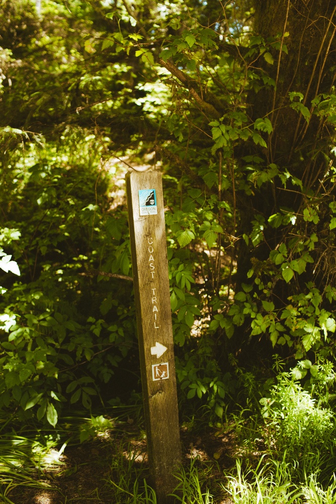
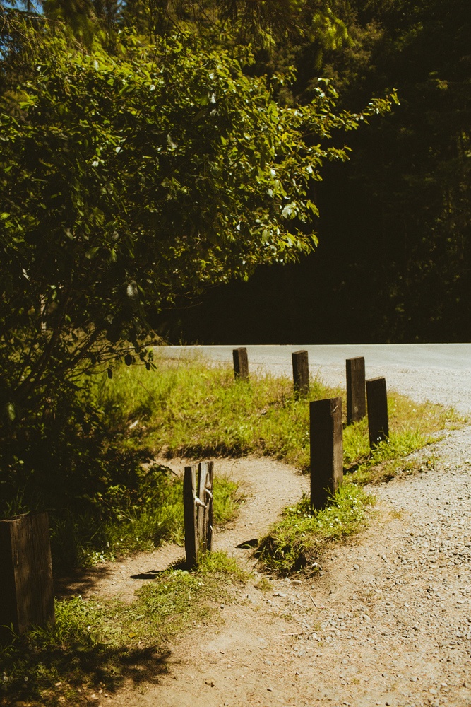
- Head to the RIGHT of the parking lot and look for the tiny footpath looping around the trees. It looks like it’s going into the road, but it’s not.
- Walk this for just a bit until you come to the next path. Take the LEFT.
- Shortly, there is a Y path. Take the LEFT path.
- Keep walking a bit. It gets steep here can be very dangerous if wet. Make sure to wear sturdy shoes!
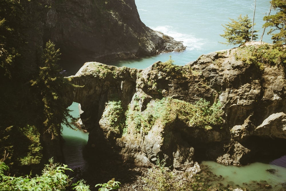
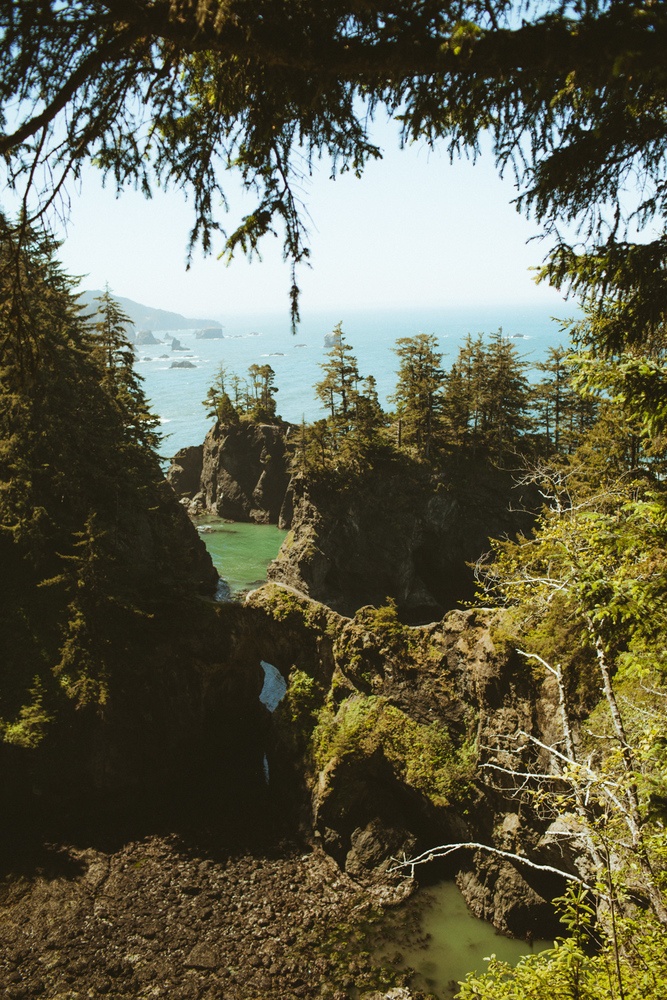
- Both paths lead to the Natural Bridges. The LEFT path is a bit easier to walk on but still steep and can be dangerous. It takes you to a view of the Natural Bridges Cove.
- The RIGHT takes you on top of the arch, but is extremely steep and dangerous. Would be easy to slip off the edge here.
We found the hike to be really scary. We’re like medium level hikers and I would classify this as a trail for advanced hikers. Robin, my husband, is terrified of heights and refused to go down the whole path. I slide down to capture some photos but I was so afraid I would drop my camera or shoes and they’d roll right into the ocean!
The best time of day to visit the Samuel H Boardman Natural Bridges for the best photography is at sunrise or sunset when the sun rays beam through the arches.
We went at high noon because we were too lazy to get up at sunrise, ha! And were deep in the middle of our van trip heading to Fern Canyon. It was still stunning in person, but on photos, the light was harsh and bright. Just something to keep in mind! If you are a normal person (not a blogger or photographer) come at any time of day to enjoy these rocks.
As I mentioned, I found the trail to be really hard towards the end. It was quite a workout! Here’s what you should pack for a safe hike to the Natural Bridges:
- Waterbottle
- Sturdy hiking boots
- Sunscreen
- Bug Spray
- Backpack
- Jacket if it’s cool out
- Headlamps (for sunrise + sunset visits, you’ll need to be hands-free!)
Samuel H Boardman weather is all over the place. We visited during a rare heat wave and it was HOT! But usually, this area is in the 60’s. Since it’s on the coast, summers are typically foggy and chilly. Winter can see a lot of rain. Pack accordingly!
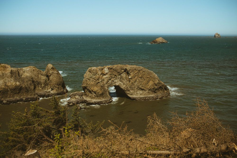
Arch Rock Samuel H Boardman
Since we were coming from the North, our first stop along the Samuel H. Boardman State Scenic Corridor was Arch Rock. This was a very easy and quick stop, but beautiful!
Arch Rock sits out in the ocean and is, well, an arched rock! The parking lot is large and there’s a bathroom here. The path in is very level and short, I think most people should be able to walk it easily enough.
This stop takes about 20 minutes and is a fun, easy way to start your Samuel H Boardman visit on a high note!
There is fencing along the lookout points to keep visitors safe. You’ll have to photograph around or over the fences and make sure to stay on the correct side of them so you don’t fall off the cliff! If you want to photograph the arched rock, the morning will be best so the rock is illuminated by light. Or, at the magic moment at sunset when the light shines through the arch, though it will be backlit.
More Fun Stops On The Samuel H Boardman Scenic Corridor
Oh all the state parks in Oregon, Samuel Boardman state park sure has a lot of fun things to do packed into the space! After you visit the Natural Bridges, check out one of these fun stops:
- Whaleshead Beach
- Thomas Creek
- Harris Beach
- Indian Sands Trail
- China Beach
- North Island
- Cape Ferrelo
- Secret Beach
Samuel H Boardman Itinerary
Arch Rock
Arch Rock viewpoint is an easy walk from the parking lot. There’s restrooms here as well. This makes a great first stop as it’ at the top of the Samuel H. Boardman drive and helps you start the adventure off with a quick hitter!
Secret Beach
Between the Arch Rock and Natural Bridges is Secret Beach, a tiny unofficial beach that doesn’t show up on all maps. It’s a bit hard to find and I didn’t even know it was here until after our visit!
According to Share Oregon “There is a small gravel parking area for it 1/3 mile south of milepost 345 on U.S. 101 in Boardman State Park. From there, walk to the trailhead (a small dirt path) and enjoy an overlook into aptly-named Thunder Rock Cove. Follow the trail 1/4 mile to the secluded beach.”
Natural Bridges
1.2 miles South of Arch Rock are the bridges! You can drive down or even hike the Coastal Trail over if that’s your thing.
Picnic Lunch
I recommend you bring a picnic lunch as there aren’t many dining options in the park. Plus, there are so many great viewpoints and picnic table areas to enjoy a good view over food! If you are desperate for restaurant food, the only one I remember seeing within the park was the Whaleshead Resort Restaurant.
Indian Sands Trail
A .9 mile hike that reportedly is a bit steep at the start, but levels out. It’s a loop and visitors recommend hiking counter-clockwise for stunning coastal views!
Whaleshead Beach
A beautiful beach with a small parking lot. There is also a trail you can hike from Indian Sands to Whaleshed Beach!
Dinner at Oxenfre Public House
Hotel at Tu Tu Ton Lodge
Tu Tu Ton is a cute lodge on the water in Gold Beach that we probably would have stayed at if we weren’t on a camper van trip. Looks rustic and fun for the area! The only downside is that it’s up on the North side of the park, so you may have to backtrack a bit.
- Looking for camping near Samuel Boardman state park? Check out a list of nearby campgrounds here.
- Or, read my guide on how to find free campsites (that’s what we did!)
- There are a handful of RV parks, list here
- I LOVE using Airbnbs to travel. These are my favorite Oregon Coast Airbnbs.
I hope this helps you plan a fun trip to the Natural Bridges and Samuel H Boardman Scenic Corridor! If you have any more tips to add or questions, leave a comment below! You can also always DM me on Instagram if you have questions and I’ll be happy to help!
Other Posts You May Like
Free camping 101: how to never pay for a campsite again!
How to find the Umpqua Hot Springs
3 Day Portland City Guide For Frist Time Visitors!
What nobody tells you about van camping (good + bad)
Where to find secret river access spot on the Smith River



2 comments
Amazed by the sights of this hike! Sounds like a great hike!
Hello, where is the video guide you mentioned that lead to the natural bridges?